| dc.contributor.author | Lied, Karstein | |
| dc.contributor.author | Toppe, Ronald | |
| dc.date.accessioned | 2023-09-19T17:46:08Z | |
| dc.date.available | 2023-09-19T17:46:08Z | |
| dc.date.issued | 1989 | |
| dc.identifier.issn | 1727-5644 | |
| dc.identifier.uri | https://hdl.handle.net/11250/3090619 | |
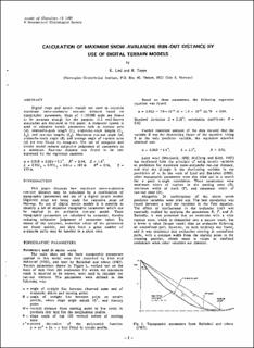
| dc.description.abstract | This paper discusses how maximum snow-avalanche run-out distance may be calculated by a combination of topographic parameters and use of a digital terrain model. Digitized maps are being made for extensive areas of Norway. By use of digital terrain models it is possible to identify a set of objective topographic parameters which can be applied in an avalanche run-out model. These topographic parameters are calculated by computer, thereby reducing subjective judgement of parameter values. By means of the computer, numerical values of the parameters are found quickly, and data from a great number of avalanche paths may be handled in a short time | en_US |
| dc.language.iso | eng | en_US |
| dc.publisher | Cambridge University Press | en_US |
| dc.subject | Mapping | en_US |
| dc.subject | Runout Distance | en_US |
| dc.subject | Snow Avalanche | en_US |
| dc.subject | Avalanche-RnD | en_US |
| dc.subject | Snøskred-FoU | en_US |
| dc.title | Calculation of maximum snow-avalanche run-out distance by use of digital terrain models. | en_US |
| dc.type | Journal article | en_US |
| dc.rights.holder | International Glaciological Society | en_US |
| dc.source.pagenumber | 164-169 | en_US |
| dc.source.volume | 13 | en_US |
| dc.source.journal | Annals of Glaciology | en_US |
| dc.identifier.doi | 10.3189/S0260305500007825 | |
