| dc.contributor.author | Frauenfelder, Regula | |
| dc.contributor.author | Glassett, Timothy D. | |
| dc.contributor.author | Jaedicke, Christian | |
| dc.contributor.author | Vöge, Malte | |
| dc.contributor.author | Robiati, Carlo | |
| dc.date.accessioned | 2023-08-10T08:08:37Z | |
| dc.date.available | 2023-08-10T08:08:37Z | |
| dc.date.issued | 2016 | |
| dc.identifier.uri | https://hdl.handle.net/11250/3083284 | |
| dc.description.abstract | The Seward Highway in Alaska has over one hundred avalanche paths spread out along a 150 km major transportation corridor, which traverses three different avalanche climatic regimes. This coupled with a small staff can make avalanche debris detection and mapping difficult. With the use of satellite imaging we may have a reliable means of detecting and recording avalanche deposits. During the winter of 2016 the Seward Highway recorded an unprecedented amount of glide avalanche releases. Using SAR imagery we can accurately detect avalanche debris, further aiding in mitigation strategies and avalanche hazard management. | en_US |
| dc.language.iso | eng | en_US |
| dc.publisher | Montana State University Library | en_US |
| dc.relation.ispartofseries | The International Snow Science Workshop (ISSW) Proceedings; | |
| dc.subject | Avalanche-RnD | en_US |
| dc.subject | Snøskred-FoU | en_US |
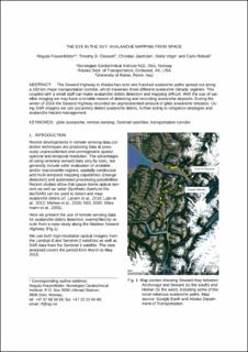
| dc.title | The eye in the sky: Avalanche mapping from space | en_US |
| dc.type | Chapter | en_US |
| dc.source.pagenumber | 4 | en_US |
| dc.identifier.doi | https://arc.lib.montana.edu/snow-science/item/2327 | |