| dc.contributor.author | Issler, Dieter | |
| dc.coverage.spatial | Norway | en_US |
| dc.date.accessioned | 2023-09-29T12:07:34Z | |
| dc.date.available | 2023-09-29T12:07:34Z | |
| dc.date.issued | 2023-09-28 | |
| dc.identifier.uri | https://hdl.handle.net/11250/3093129 | |
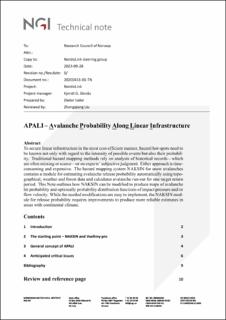
| dc.description.abstract | To secure linear infrastructure in the most cost-efficient manner, hazard hot-spots need to be known not only with regard to the intensity of possible events but also their probability. Traditional hazard mapping methods rely on analysis of historical records—which are often missing or scarce—or on experts’ subjective judgment. Either approach is timeconsuming and expensive. The hazard mapping system NAKSIN for snow avalanches contains a module for estimating avalanche release probability automatically using topographical, weather and forest data and calculates avalanche run-out for one target return period. This Note outlines how NAKSIN can be modified to produce maps of avalanche hit probability and optionally probability distribution functions of impact pressure and/or flow velocity. While the needed modifications are easy to implement, the NAKSIN module for release probability requires improvements to produce more reliable estimates in areas with continental climate. | en_US |
| dc.description.sponsorship | Research Council of Norway | en_US |
| dc.language.iso | eng | en_US |
| dc.publisher | NGI – Norges Geotekniske institutt | en_US |
| dc.relation.ispartofseries | NGI-Rapport;20200431‐01‐TN | |
| dc.subject | Avalanche-RnD | en_US |
| dc.subject | Snøskred-FoU | en_US |
| dc.title | APALI – Avalanche Probability Along Linear Infrastructure | en_US |
| dc.type | Research report | en_US |
| dc.source.pagenumber | 12 | en_US |
| dc.relation.project | Applied Avalanche Research in Norway | en_US |
